Railways

Railways

Our drone-based railways are perfect for project planning, construction monitoring, and infrastructure inspection.

Drones Advantages in Railways Surveys

Drones help in project planning, construction monitoring, and infrastructure inspection. We use sophisticated surveying drones with high-resolution sensors to collect data of the highest quality, down to the centimeter level.
Report of unreachable areas

Our drones provide a risk-free method of keeping tabs on the condition of otherwise hard-to-reach rail infrastructure.

Fast & accurate report

Drone accurate thermal/4k data can help improve the work speed by 70-80% than the traditional survey methods.

Cost Effective

Drone Survey & Inspection is less costly than traditional ground-based methods and can save you time, and resources.

Railways Survey

Railway Track Inspection, Railway Infrastructure and assets inspection, Bridge inspection, etc. are all part of our Aerial Inspection service for railways / highways infrastructure. We aid transport authorities in keeping tabs on vital infrastructure via periodic aerial inspections, thereby decreasing the likelihood of catastrophic failure.
Services We Offer

Survey Before Construction (PLANNING)

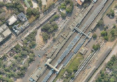
Our high-end drones hover at 20-50 mph. Our aerial survey and surveillance services help railways evaluate land for new tracks, station yards, stations, etc. The first step is a thorough site survey to assess its viability for building. Our GIS professionals evaluate data and create topographical maps and 3D models of topography, utility lines, drainage slopes, and existing risks to test the new project’s feasibility.
Track the Progress of Project (CONSTRUCTION)

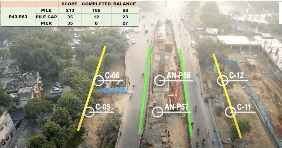
Railway project managers can save time with our Aerial Construction Monitoring Solution. Our highly qualified drone pilots are constantly present to ensure quality and delivery. They compile aerial data for all railway plans while meeting safety regulations. Our post-production team highlights key information like unfinished overbridge pillars, half-finished construction sites, etc. from the aerial film. Our railway inspections include track detection and standard measurement.

Estimation of Volume (MANAGEMENT OF ASSETS)

Keeping track of assets and supplies is important for any type of construction. Construction Monitoring helps project managers keep track of what is in stock on-site and make the project run more smoothly. Using Machine Learning, we can guess the size of a stockpile with 99% accuracy. Our skilled drone pilots have helped businesses and government agencies handle their assets by collecting data from different topographic points.
Estimation of Volume (MANAGEMENT OF ASSETS)

Examination of Train Stations and Bridges

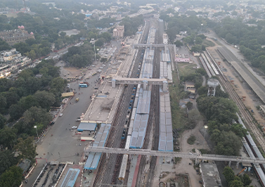
The best way to check out dangerous or hard-to-reach areas is from the air. Railway bridges need to be carefully and accurately looked at. Drones can show and examine parts of a building without putting workers in danger or costing too much. Our GIS experts make different 3D models and geographic maps to collect data about the structure of buildings and bridges.
ANALYSIS of Railway Track

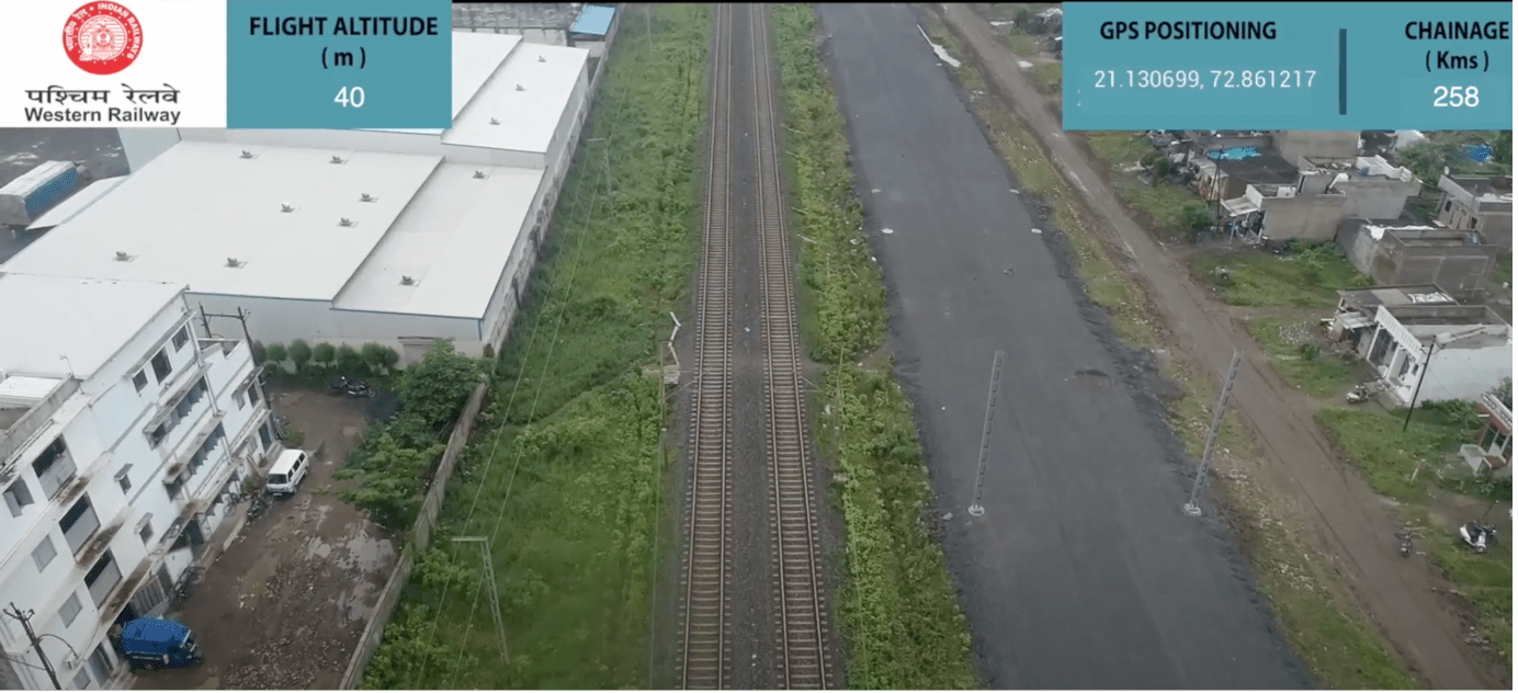
High-traffic railway tracks should be inspected timely and the best way to inspect is using drones. Our experienced drone pilots quickly capture Drone Data while maintaining railway safety. Our GIS team reconstructs high-resolution aerial pictures into topographical maps such as 3D models, 3D Point Cloud, 3D textured mesh, etc. Orthoimagery enhances track, thermal, structural, and other images. All this data is used to estimate track length, identify hazards, and help trains avoid catastrophic damage.

Level Crossing & TSS INSPECTION

For important support facilities like level crossings and traction substations (TSS), inspection from the air is 10 times faster than the current methods. Using high-quality RGB and thermal sensors, our pilots get visible data that passes inspections. This data shows the condition of the substation, the growth of vegetation, and security problems. At level crossings, which are where a railway and a road meet, extra safety steps are needed. So, we help the government make sure that level crossings are safe by collecting geo-tagged images fast.