Agriculture Inspection & Spraying
Drone-powered solutions are a great help in the agriculture field as they provide quick and crucial information with ease.
Drones Advantages in Agriculture Surveys
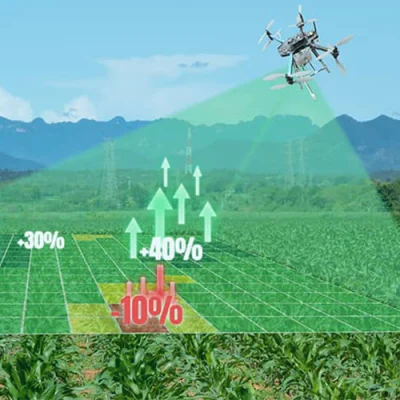
Improve crop health and agricultural profits by getting an accurate status report with our cutting-edge drone technology and machine learning algorithms.
Enhance crop productivity and quality with our agriculture drone inspection and spraying services.
Visual inspections performed by drones have a higher resolution compared to the traditional land surveying methods.
Aerial mapping of farmland allows farmers to make more informed decisions and save unneeded expenses.
Drone mapping can save money, time, and resources as compared to traditional ground-based mapping of crop fields.
Our Drones Can Help In
CROP HEALTH & DAMAGE INSPECTION
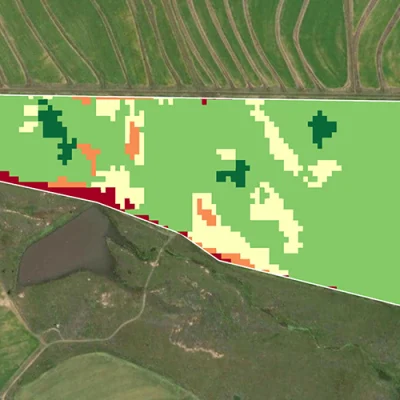
Easily know the health status of your crops and check for damage caused by natural disasters, human activities, or other causes. In order to give reports to crop insurance companies or receive an estimate, farmers or government agencies also use this data. Our high-quality drones with Multispectral camera sensors can spot early signs of disease and stress, sometimes even before they are visible from the ground or with regular color cameras.


Planning and monitoring of Irrigation
Our drones with thermal imaging and remote sensing capabilities are powerful tools for addressing water distribution problems. RGB Imaging’s field topography aids farmers in arranging and separating crops to improve drainage, align with natural land flow, and prevent waterlogging.
Crop damage analysis

Analysis of crops & plant emergence

Soil Analysis


Spraying Pesticide
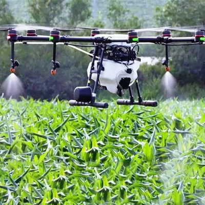
To keep crops healthy, it’s important to spray chemicals that kill pests and unwanted plants like weeds. Pesticides can be sprayed more effectively and for much less money with our Kisan Drone 10 (EI-KD10L) pesticide spraying drone.
